How cataracts affect colours
20/05/2026
02/08/2023
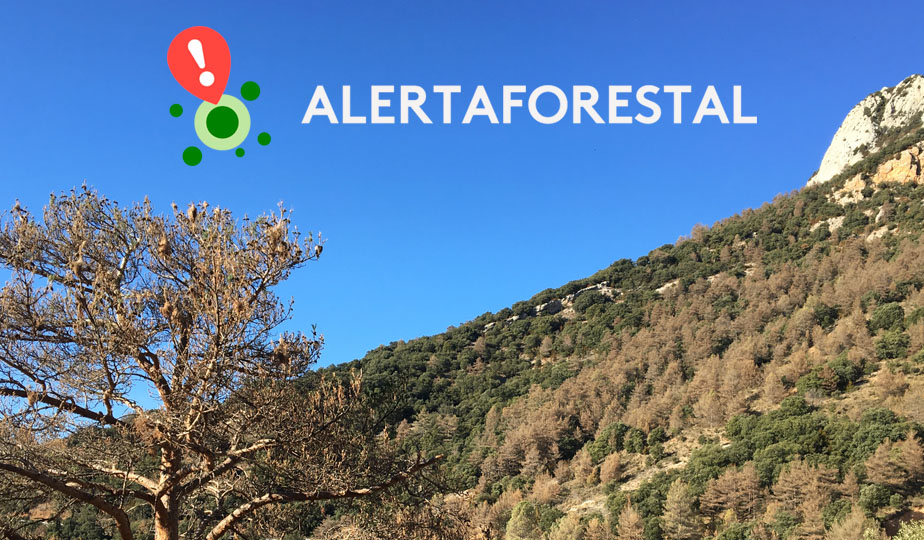
AlertaForestal is a citizen science platform coordinated by CREAF (Centre for Ecological Research and Forestry Applications), with which we are collaborating in 2023 in the initiative 'Tinguem Vista pels Boscos del Futur' to analyze the health status of Catalonia's forests through observations made by the public. These observations can focus on five forest disturbances affecting the forests: processionary caterpillars, box tree moths, drought, windstorms, and snowfall. The project also aims to predict the future health status of these forests, taking into account climate change and other environmental changes occurring both locally and globally.
The project is crucial for predicting how changes in forest health can impact human health. The data collected is used to create simulation models that generate prediction maps. These maps serve as a starting point for understanding the direction we are headed if current conditions persist, and they help assess what can be done to improve forest health, thereby altering our relationship with our own health.
How can you participate?
Participating in the AlertaForestal project does not require expertise in forest-related subjects. The platform's team will assist you in recognizing the main tree species found in Mediterranean forests and assessing their health status in relation to each alert.
On the AlertaForestal website, there's a map displaying all the collected observations. Registration is necessary to upload the observations you gather during your hikes or walks. With your profile, you can also review all your contributions for a specific issue.
Steps to upload your observations
Alternatively, you can take photos with a digital camera and then upload them to the web app from your computer or tablet.
Visit the AlertaForestal project webpage for more information.
Participation and citizen science projects play a significant role in CREAF's research. You can explore all their ongoing projects and the process to participate in each of them on their website.